The Precision Revolution: Decoding Forest Conservation Science
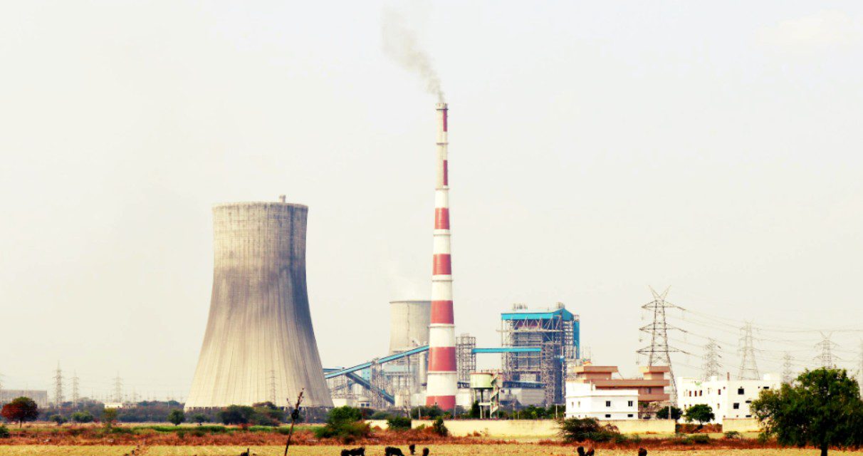
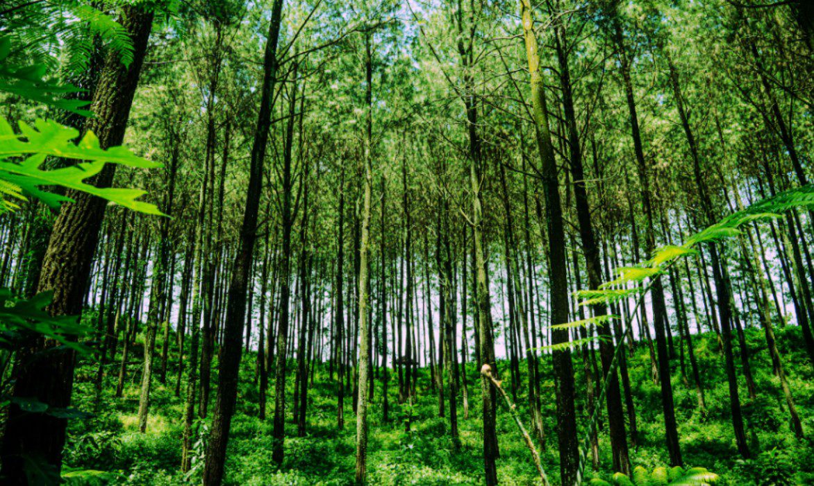
In the global fight against climate change, Forest Conservation has transitioned from a passive protective measure to a high-tech biological engine. As of May 2026, the Indian subcontinent is pioneering a data-driven approach to ecological restoration. This evolution moves beyond simple mass-planting events to a sophisticated discipline involving genomic selection and satellite-driven monitoring. Tech-savvy professionals and early adopters recognize that meeting India’s ambitious targets requires a shift from “quantity” to “ecological quality”. Consequently, current efforts prioritize restoring functional ecosystems that mimic the resilience of old-growth forests.
The most critical development in 2026 is India’s updated Nationally Determined Contribution (NDC) for 2031-2035. The Union Cabinet recently approved a target to create an additional carbon sink of 3.5 to 4.0 billion tonnes of $CO_2$ equivalent. This represents a significant escalation from previous goals and necessitates a robust forest cover mandate across the country. To achieve this, the government is leveraging advanced digital platforms for real-time tracking. These tools ensure transparency and accountability in every hectare of land restored.
Moreover, regional strategies are becoming increasingly specialized to combat localized climate risks. From the Aravalli Green Wall initiative to the Mangrove Initiative for Shoreline Habitats and Tangible Incomes (MISHTI), the focus is on “climate-proofing” critical ecosystems. Therefore, reforestation is no longer just a social duty; it is a vital component of national security and economic resilience.
Regional Restoration: Tailoring Science to the Landscape
India’s diverse geography demands specific applications of Forest Conservation science. Each eco-region, from the salt-heavy Sundarbans to the arid Aravallis, requires a unique biological blueprint. Legislative support has strengthened in 2026 to provide funding for these specialized regional interventions.
The Aravalli Green Wall Initiative
- This project targets the restoration of over 1.1 million hectares of degraded landscapes by 2027.
- Phase-wise plans focus on afforestation with native species and soil health improvement.
- The initiative aims to create an ecological buffer against desertification from Delhi to Gujarat.
Mangrove Recovery and MISHTI
- The MISHTI initiative focuses on shoreline habitats to provide tangible income and protection.
- Scientists identify specific mangrove variants with high salinity tolerance for coastal resilience.
- Mangroves act as natural buffers against rising sea levels and intense cyclones.
Himalayan Alpine Conservation
- Efforts focus on high-altitude species to combat the effects of rapid glacial retreat.
- New indigenous AI-based landslide warning systems now protect these sensitive forest zones.
- Community-led programs ensure that high-altitude restoration aligns with local tribal livelihoods.
High-Tech Tools Powering Forest Recovery
The scaling of Forest Conservation relies heavily on a “digital revolution” in forest management. Managing a forest today is as data-intensive as managing a modern smart city. These technological layers ensure that restored land performs at its peak carbon-capturing capacity.
| Technology | Core Application | Projected Impact |
| Satellite AI | Large-scale biomass and fire monitoring | Rapid response |
| Drone Seeding | Reforestation of inaccessible terrain | Rapid coverage |
| LiDAR Mapping | 3D analysis of forest canopy density | Precision auditing |
| Genomic Tagging | Identifying climate-resilient tree variants | Higher survival |
Advanced Satellite Monitoring
- Government agencies use satellite data to monitor forest fire prevention and control systems.
- High-resolution mapping identifies degraded areas in real-time for immediate intervention.
- AI models predict moisture stress, allowing forest departments to mitigate potential die-offs.
Digital Transparency Frameworks
- The India-AI Impact Summit 2026 highlighted AI’s role in sustainable forest surveillance.
- Machine Vision (MV) analyses real-time footage to detect illegal encroachment or felling.
- Transparent data and survival audits are now mandatory for credible reforestation stories.
Community-Led Digital Inclusion
- The “Ek Ped Maa Ke Naam” campaign utilizes digital tracking to personalize tree planting.
- Local communities use low-cost sensors to monitor soil moisture and ground displacement.
- Democratizing access to high-resolution climate info embeds resilience at the grassroot level.
Urban Micro-Forests and the Miyawaki Method
As Indian cities grow, Forest Conservation is being compressed into high-density urban micro-forests. The Miyawaki method has become a staple for tech hubs like Bengaluru and Hyderabad. These forests grow significantly faster and offer superior cooling effects for urban “heat islands”.
Accelerated Urban Growth
- Native species planted in high density compete for light, driving vertical growth.
- Miyawaki forests can become self-sustaining in as little as three years.
- These dense canopies improve urban air quality and reduce noise pollution.
Biodiversity Stepping Stones
- Urban forests provide critical habitats for birds, insects, and pollinators.
- They convert small, unused plots into functional forest ecosystems.
- These green pockets act as living laboratories for students and urban researchers.
Scaling for Smart Cities
- Over 65% of Indian cities currently face air quality crises, making urban greening vital.
- Miyawaki forests show measurable canopy closure within just 18 to 24 months.
- Smart cities integrate these forests to reduce city temperatures by up to 7°C.
Policy Frameworks Driving the 2035 Goal
The ultimate goal of Forest Conservation is to meet India’s 2035 carbon sink targets. This requires a sustained commitment to legal and financial frameworks that protect our natural heritage. The 2026 SOE report emphasizes transitioning from reactive compensation to proactive governance.
Legislative Strengthening
- The National Green Tribunal (NGT) is being strengthened to prioritize ecological substance.
- Updated NDCs reflect India’s inclusive development pathway and net-zero vision.
- Policy shifts treat local communities as primary stakeholders rather than obstacles.
Financial Mechanisms
- The 2026 NDC marks a significant step toward full-stack decarbonization technology.
- New green transition opportunities are being created for youth and women.
- Institutional integrity remains key to ensuring funds reach actual restoration sites.
Global Leadership
- India ranks among the global leaders in periodically raising its climate ambition.
- The country shares its AI-driven climate risk management tools with the Global South.
- Collaborative research is refining genomic selection and carbon credit verification.
Conclusion: The Future is Green and Data-Driven
In conclusion, Forest Conservation in 2026 is a sophisticated blend of traditional wisdom and cutting-edge science. By moving beyond rudimentary planting and embracing a data-driven approach, India is securing its biological and economic future. For tech-savvy professionals and early adopters, this sector offers a unique fusion of climate action and digital innovation. Therefore, our success in achieving the 2035 carbon targets depends on our continued integration of these scientific advancements. Ultimately, the forests we build today with precision will serve as the resilient lungs of a Viksit Bharat.
Forest Conservation: FAQs
India aims to create an additional carbon sink of 3.5 to 4.0 billion tonnes of $CO_2$ equivalent by 2035.
The government uses AI-powered surveillance, satellite imagery, and digital platforms to monitor forest growth and prevent illegal felling.
It is a major project aiming to restore over 1.1 million hectares across four states to halt desertification using native species.
This method creates high-density urban forests that grow ten times faster, helping to cool cities and improve local air quality in a short time.
Drones are used for “seed-bombing” in remote terrains and for mapping canopy density using high-precision LiDAR technology.